|
|
| HOME | PROTECTION | NATURE | PLAN YOUR VISIT | FAQ | JOIN/DONATE | ABOUT |
| Special Places of the Douglas-Fir National Monument |
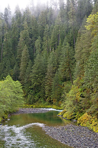
| Now more than ever we seek the Great Outdoors. But once you get more precise than everywhere outside, identifying favorite aspects of the Great Outdoors becomes subjective. The Douglas-Fir National Monument should exist both because it is representative of so much of the Great Outdoors of Oregon, and because it has its own superlative examples of a great outdoors experience. | 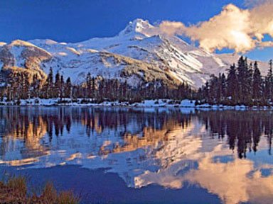 Photo courtesy of Darryl Lloyd |
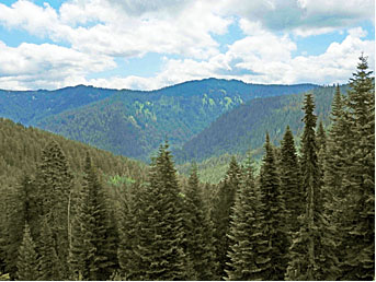 |
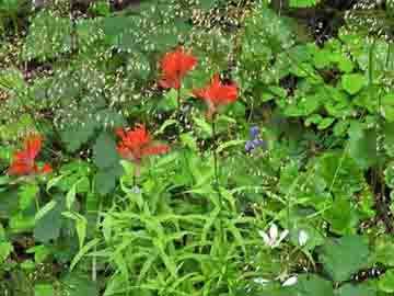
What follows here are some of the Friends' favorite responses when someone asks us "What is most scenic about the Doug?" Some are easy to find, others are more challenging. Some may meet anyone's definition of great, others may seem more arguable. |
| Like every other aspect of the Doug, there is beauty
all around you, when you open your eyes to it. You need to visit to
take in the true greatness. Visit these pages, and let them draw you to visit the Doug. Visit with care, and don't hesitate to let us know what your favorites are. |
 |
| For a closeup look at a revised and corrected map and boundaries of the Monument, click on the Google Earth map link below. You can zoom in to see some of the sights of the proposed National Monument as tagged by Google. NOTE: Even when zoomed, all marked locations and boundaries are approximate. Check carefully before traveling to any special place. To review the boundaries, be sure to click the collapse side panel button (in the middle of the image). If you instead close the search option, the boundaries will disappear. You can return to the Friends website by using the back arrows. Also note, the large clear cut areas (the orange spots) you can see below the Middle Santiam wilderness are some of the private sections within the proposed monument boundaries. These private holdings would not be affected by the creation of the Monument. These areas will remain outside the Monument. |
| Google Earth Map |
| Enjoy Sandy Brown Jenson's heartful impressions of our monument |
|
Go to the Plan
your Visit page