|
|
| HOME | PROTECTION | NATURE | PLAN YOUR VISIT | FAQ | JOIN/DONATE | ABOUT |
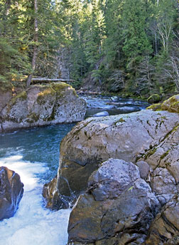
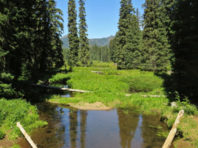
| Rivers and Other Waterways |
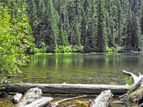
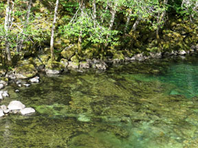
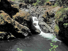
| One of the key values of the Douglas-Fir National
Monument are the rivers and other waterways that give life and charm
to the forest. From the Breitenbush in the north, to the South
Santiam in the south, the watersheds help define the boundaries of
the proposed National Monument. In between these boundaries, the
Santiam branches, Quartzville Creek, and Crabtree Creek flow through
wildernesses, old growth forests and acres and acres of green. Many
of these waterways are recognized for their whitewater challenges;
all offer opportunities to visit stately old growth groves. A portion of Quartzville Creek is designated as a Wild and Scenic River. The other significant and scenic waterways of the Monument have been included in Senator Wyden's groundbreaking bill, the River Democracy Act of 2021, designating many rivers in Oregon as Wild and Scenic. To review the value of these rivers, you can see the nominations. To learn how you can weigh in and thank Senator Wyden and the bill's cosponsor, Senator Merkley, click here. Come, visit the rivers and waterways of the Doug. |
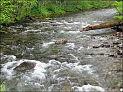
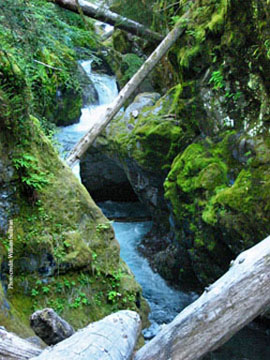 Breitenbush River (photo courtesy of William Sullivan) |
|
|
|
|
|
|
|
| Return to Plan Your Visit |